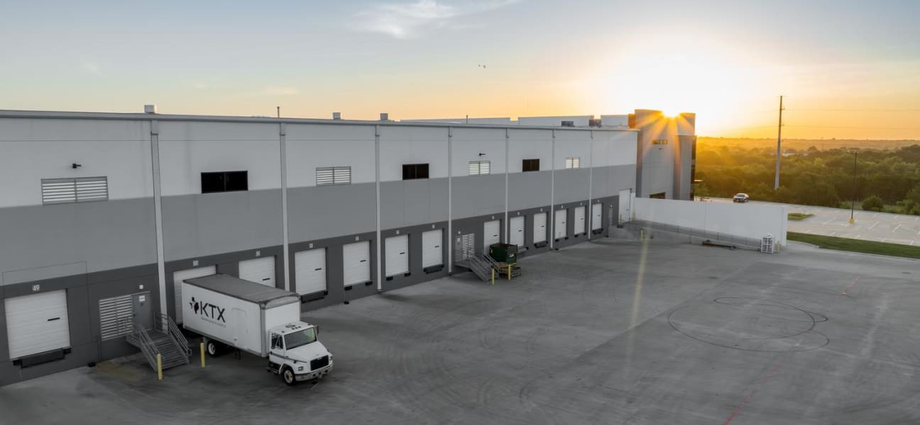
There is a distribution center south of Dallas that processes 40,000 orders a day. Their loading dock runs 22 bays deep. Their campus covers 12 acres of concrete and steel and purpose-built infrastructure that took three years to construct.
Their website shows a ground-level photo of the front entrance taken from the parking lot. It could be any building. It could be any company. All that scale, all that investment, all that operational capability — reduced to a rectangle of beige siding and a logo above the door.
Then they flew a drone.
One 90-second flight captured everything a ground photo never could: the full footprint of the facility, the fleet lined up at the docks, the proximity to the highway interchange that makes their logistics model work, the solar array on the roof they installed last year. In a single aerial shot, every prospect who visited their website could immediately understand the scope of the operation.
That is what aerial photography does. It translates physical scale into visual credibility.
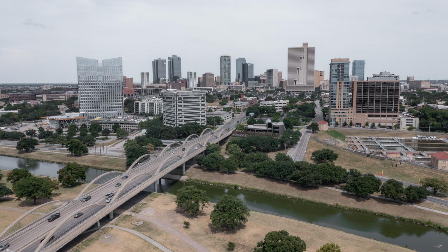
Drone and aerial photography has moved from novelty to necessity for any business whose competitive advantage includes physical infrastructure. Warehouses, manufacturing plants, construction sites, campuses, hospitality properties, event venues — anywhere that the size, layout, or location of a facility matters to the buyer's decision.
The reason is straightforward: aerial perspective communicates things that ground-level photography cannot. Proximity to transportation corridors. Campus layout and flow. Facility condition and investment level. Surrounding environment and neighborhood context. Scale relative to competitors. These are decision factors that buyers evaluate, and aerial imagery delivers them instantly.
The drone photography business has grown substantially in recent years — FAA data shows commercial drone usage has grown to over 870,000 registered commercial drones in the US, and adoption across industries continues to accelerate. For industrial and logistics companies competing for contracts, an aerial portfolio is increasingly the baseline expectation. General contractors reviewing facilities, commercial real estate brokers marketing properties, and corporate site selectors evaluating locations — all of them expect to see the full picture. The companies providing it win more conversations. The ones showing a parking lot photo get filtered out.

The most obvious application is facility marketing — showing prospects what your operation looks like from above. But the companies getting the most value from aerial photography are using it far beyond the website hero image. According to DroneDeploy's commercial drone industry report, the fastest-growing use cases extend well beyond real estate into construction, agriculture, infrastructure inspection, and brand content — industries where the aerial perspective is becoming a standard production deliverable.
Recruitment. A drone flyover of your campus, set to 30 seconds of music, is one of the most effective recruiting tools available. It shows potential employees the physical environment they would work in, the scale of the operation, and the investment the company has made in infrastructure. That video lives on the careers page, on LinkedIn job postings, and in recruiting emails.
Progress documentation. Construction companies and developers use aerial photography to document build progress over time. A monthly drone flight creates a visual timeline that serves project stakeholders, investor updates, and marketing content simultaneously.
Event coverage. Aerial photography transforms event documentation. A ground-level photo of an outdoor festival shows a crowd. An aerial photo shows the scale of the event, the layout, the branding, and the energy in a single frame.
The commercial opportunity is significant: AUVSI reports drone-derived commercial visual content now represents a $13.6B annual market, driven by the breadth of industries that have integrated aerial perspectives into their standard marketing and documentation workflows. In real estate alone, real estate listings with aerial photography sell 68% faster than those relying on ground-level imagery — a data point that reflects a broader shift in buyer expectations across commercial sectors.
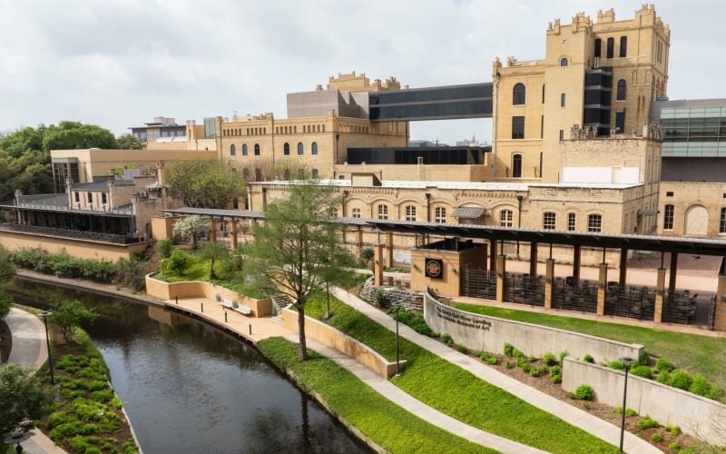
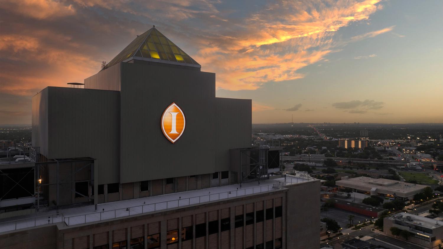
Not all drone footage is equal. The difference between amateur aerial content and professional aerial photography is the same as the difference between a security camera and a cinematographer. It comes down to intention, timing, and storytelling.
Golden hour matters. A warehouse photographed at noon looks flat and industrial. The same facility shot at sunset, with long shadows defining the architecture and warm light catching the fleet, looks like a Fortune 500 operation. Timing alone can transform the perception of a property.
Flight path matters. A drone that hovers at 200 feet and takes a single photo delivers a Google Earth screenshot. A planned flight path that moves through the property — starting wide to establish scale, moving in to reveal operational details, then pulling back to show the surrounding infrastructure — delivers a story.
Integration matters. The most effective aerial content is paired with ground-level photography. The wide establishing shot sets the context. The interior and detail shots deliver the experience. Together, they give a viewer the complete picture in a way that neither perspective could alone. This is the same principle that drives our approach to visual storytelling for industrial brands — context and detail working together to communicate what a single image cannot.
Audiences increasingly expect this layered perspective, and according to the Visual Capitalist analysis of visual media trends, aerial and elevated perspectives consistently outperform standard eye-level content in engagement across digital channels — reinforcing why production teams that plan for both aerial and ground-level capture in the same shoot deliver stronger results.
If you have invested in your infrastructure — if your facility is a competitive advantage, if your location matters, if the scale of your operation is part of why customers choose you — then aerial photography is not a nice-to-have. It is the fastest way to translate a physical asset into a visual one.
When planning aerial content, the production approach matters as much as the equipment. Hiring a production company with experience in commercial facility work — not just recreational drone operators — ensures the aerial perspective is planned, timed, and integrated into a complete visual library that serves your business across multiple channels. The same applies when commissioning product photography for industrial brands: the standard of intention and craft that separates professional commercial production from capable-but-generic execution applies equally in the air and on the ground.
At VANTAS Productions, we integrate aerial and drone photography into our content shoots for industrial facilities, campuses, event venues, and commercial properties across our markets. The aerial perspective is not a standalone service — it is part of a complete visual library that includes ground-level photography, interior documentation, and team portraits.
If your facility tells a better story from the air, book a discovery call with our Creative Director or reach out at hello@wearevantas.com. We will show you what your operation looks like when the camera matches the investment.